Product Interface
Experience Safe3D's advanced interface
Our intuitive software interface combines powerful analytical capabilities with user-friendly design, making complex fire and gas mapping accessible to safety professionals at all levels.
Interactive 3D visualization of fire and gas scenarios
Import CAD models and integrate with existing systems
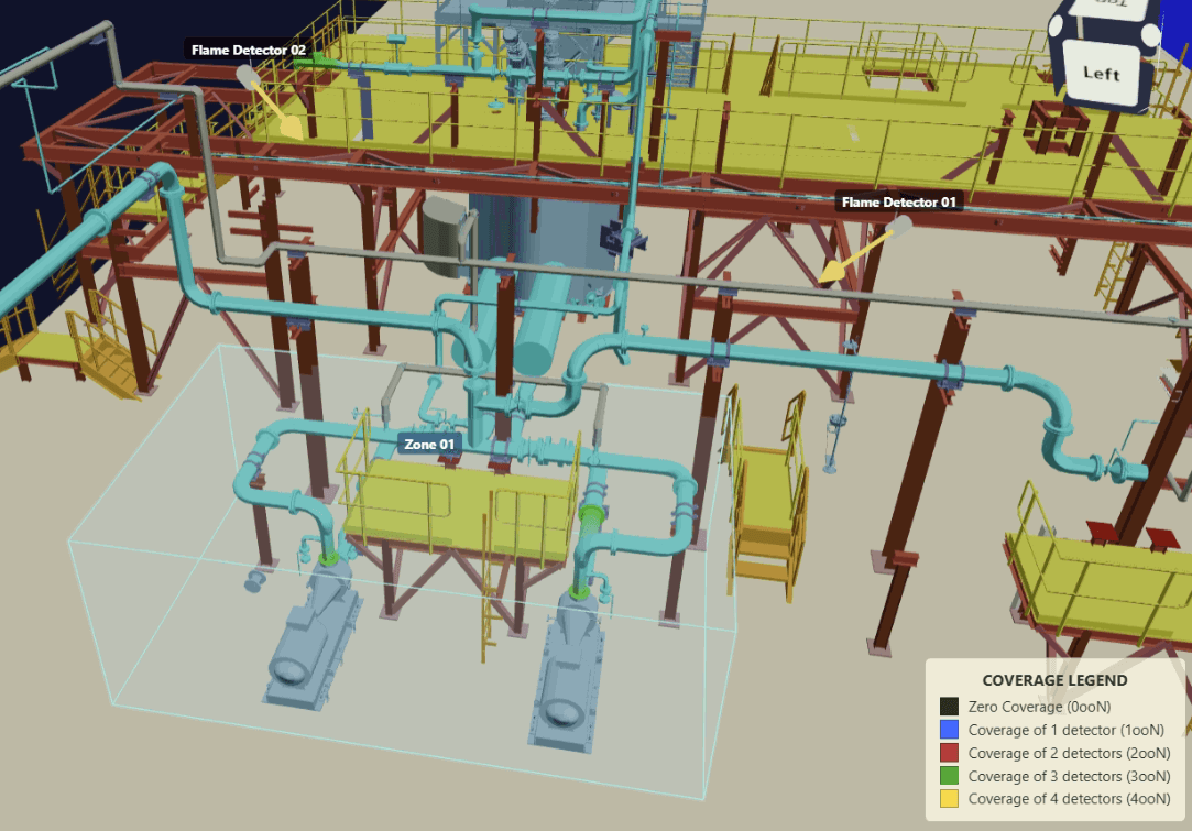
3D fire and gas visualization
Review detector locations, zone boundaries, and facility geometry in a single operational view.
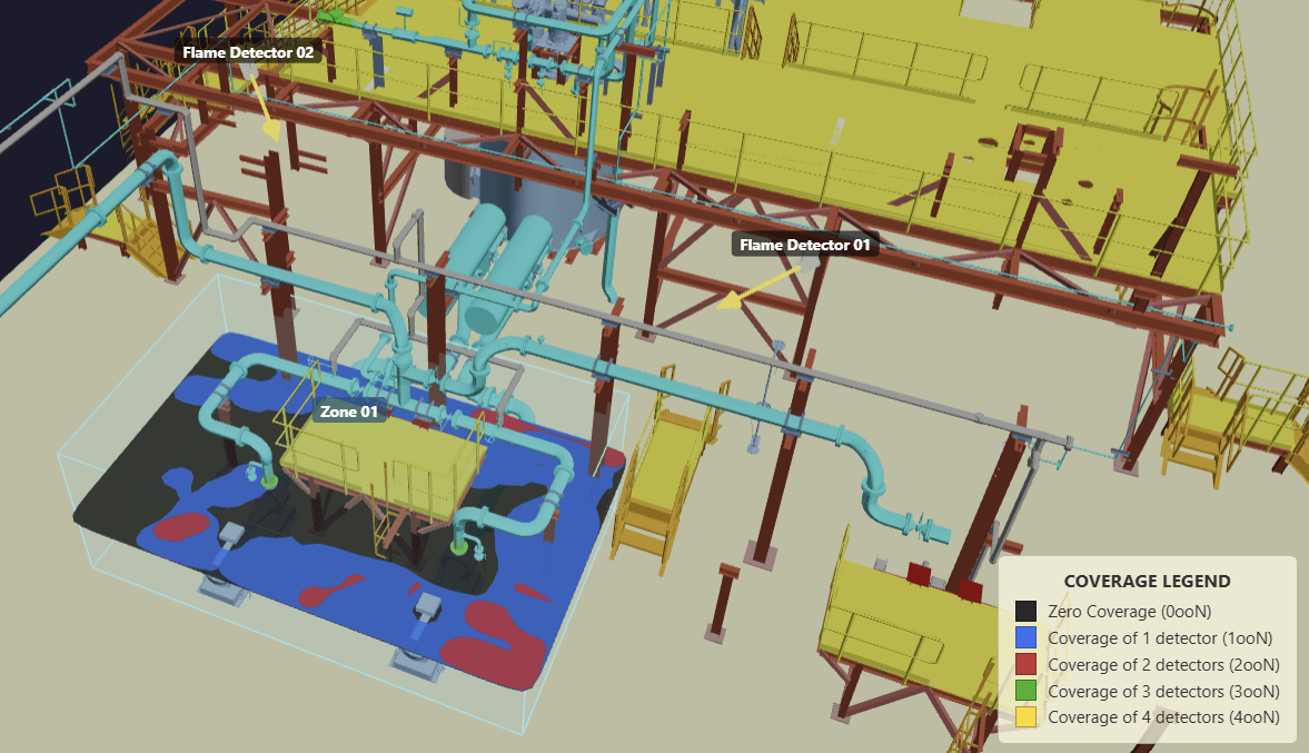
Coverage analysis made visual
Identify zero-coverage and overlapping coverage areas quickly for smarter detector placement decisions.
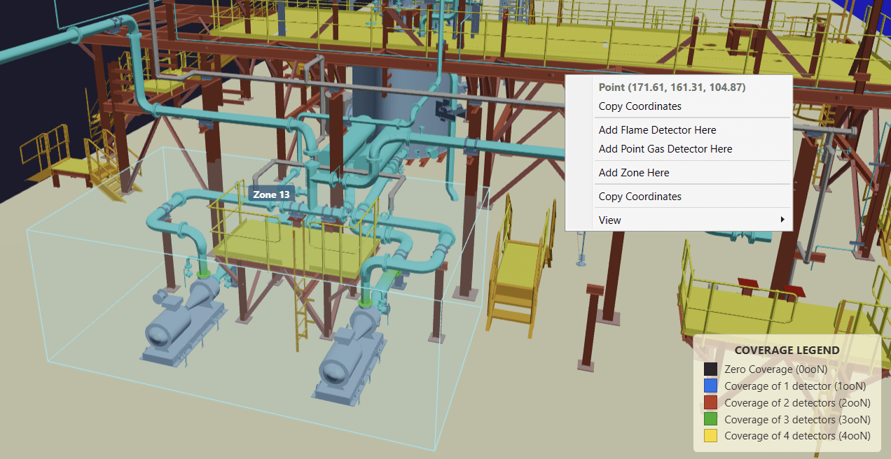
Practical engineering workflow
Add detectors, define zones, and inspect coordinates directly within the 3D environment.